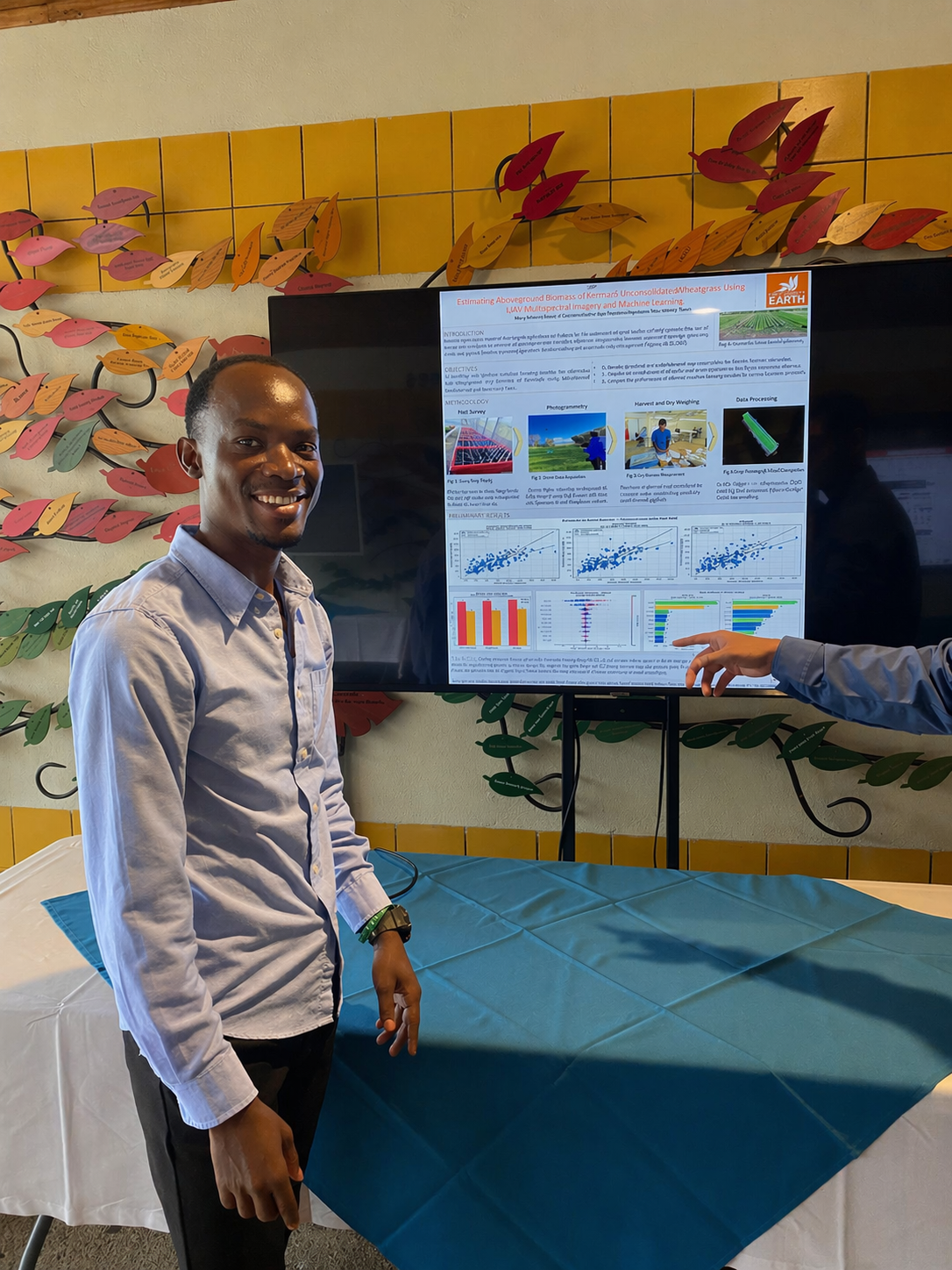
My research interests lie at the intersection of data science, agricultural systems, and food quality optimization. Through my BSc thesis on estimating crop biomass variability using machine learning and remote sensing, I came to understand that the same biological variability shaping crop production also fundamentally influences postharvest quality and nutritional outcomes. This insight reframed my focus — from optimizing agricultural production alone toward understanding the complete food system, from field to consumer, where data-driven insight can safeguard both food security and nutritional quality.
I am particularly drawn to developing generalizable predictive models that capture how environmental, biological, and management factors interact across diverse contexts to determine final product quality. I value system-level thinking: recognizing that crop and food quality emerge from complex interactions across production, environment, management, storage, and the wider supply chain. My goal is research that pairs computational rigor with practical applications that improve real-world outcomes.
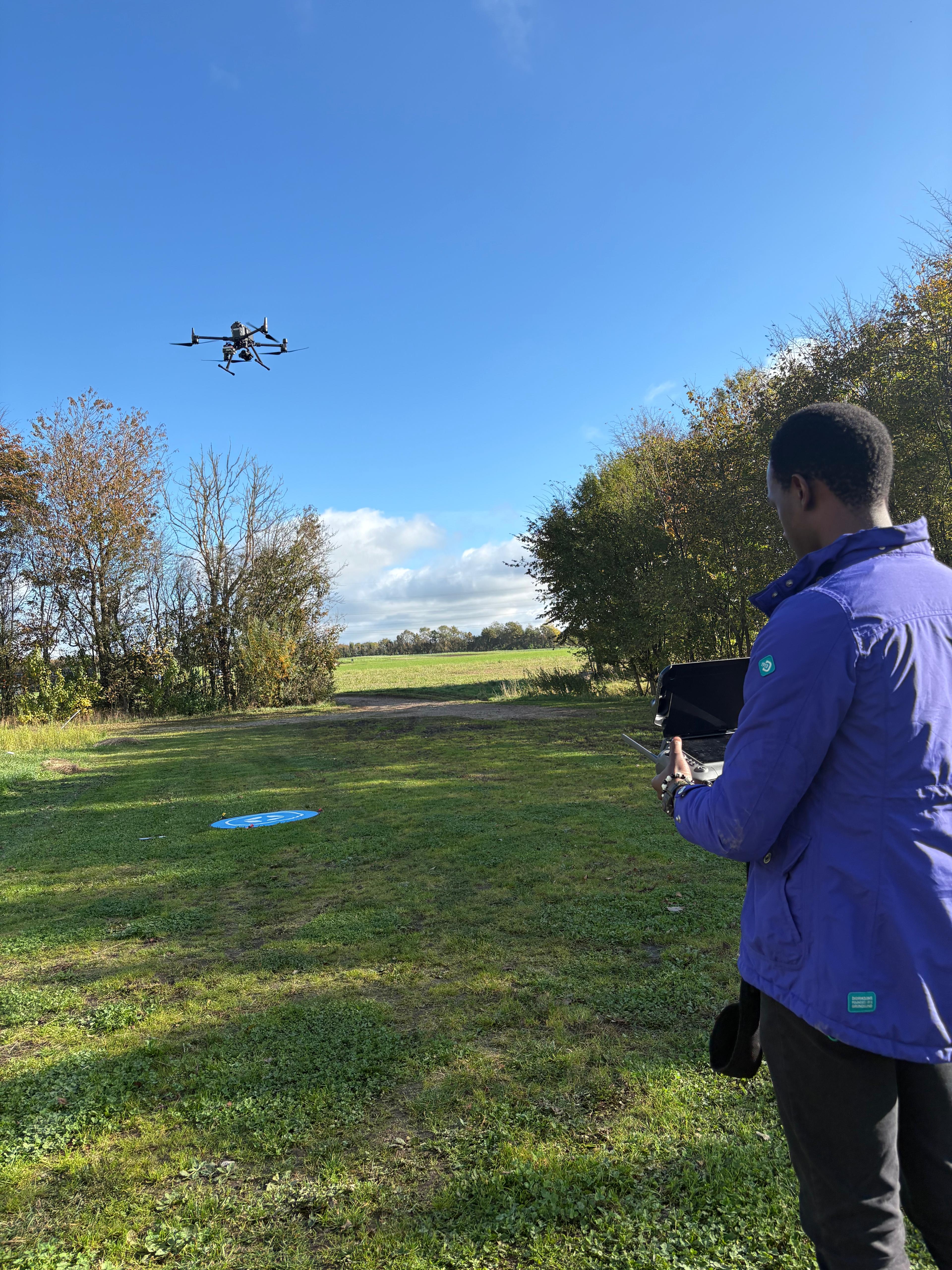
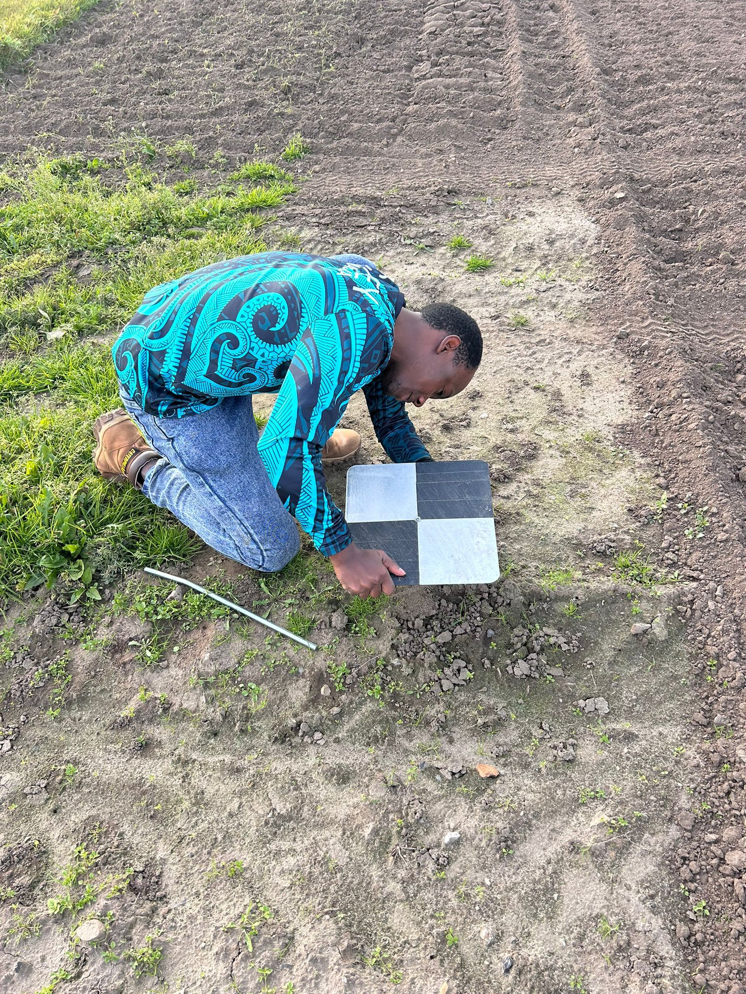
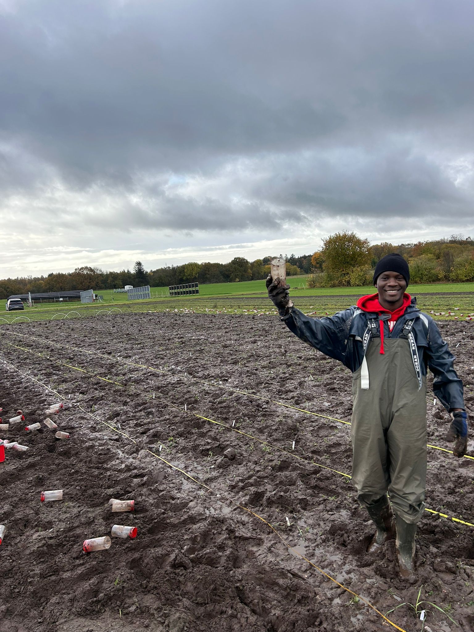
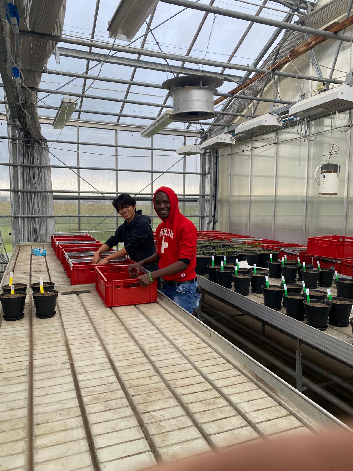
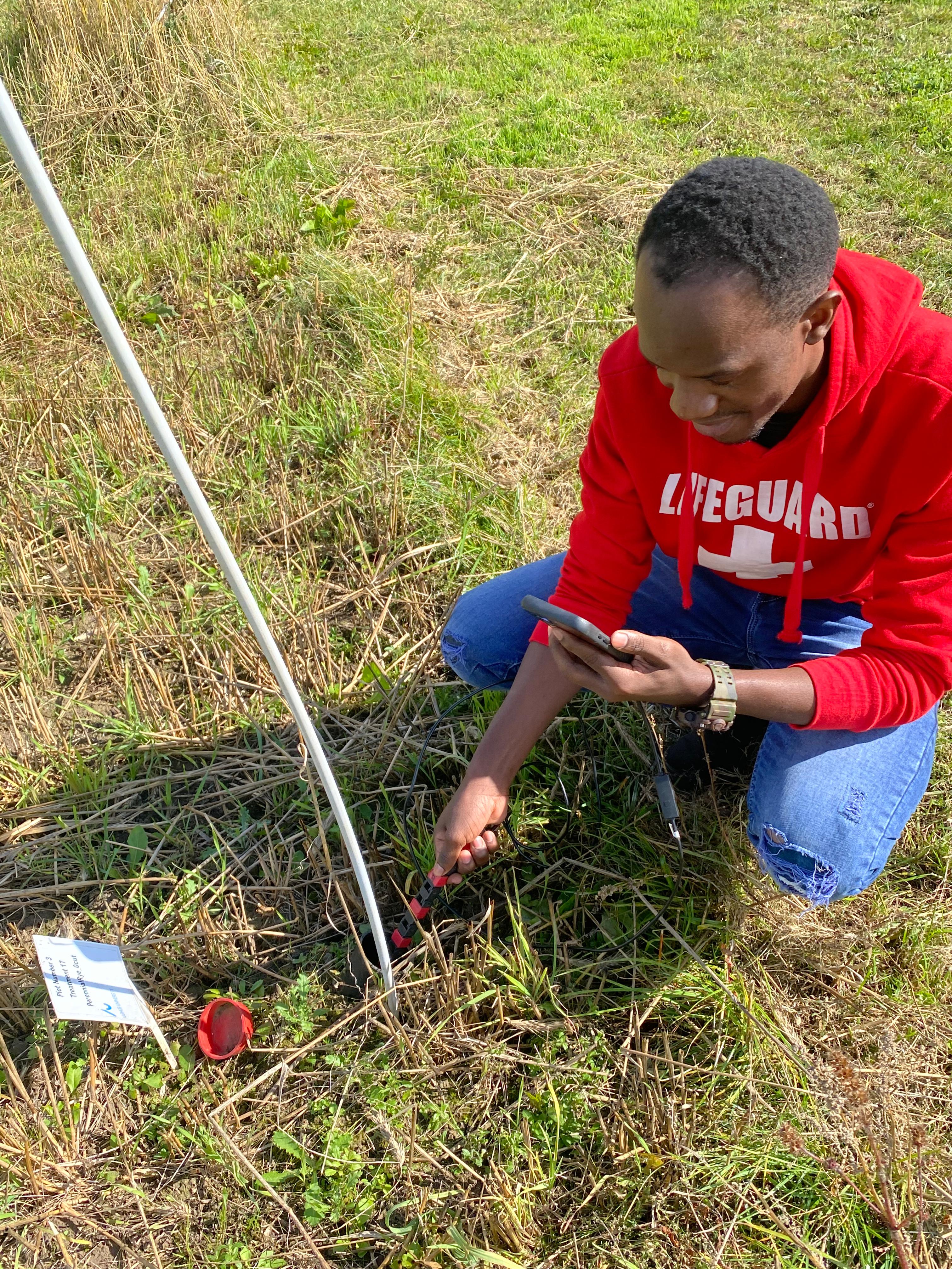
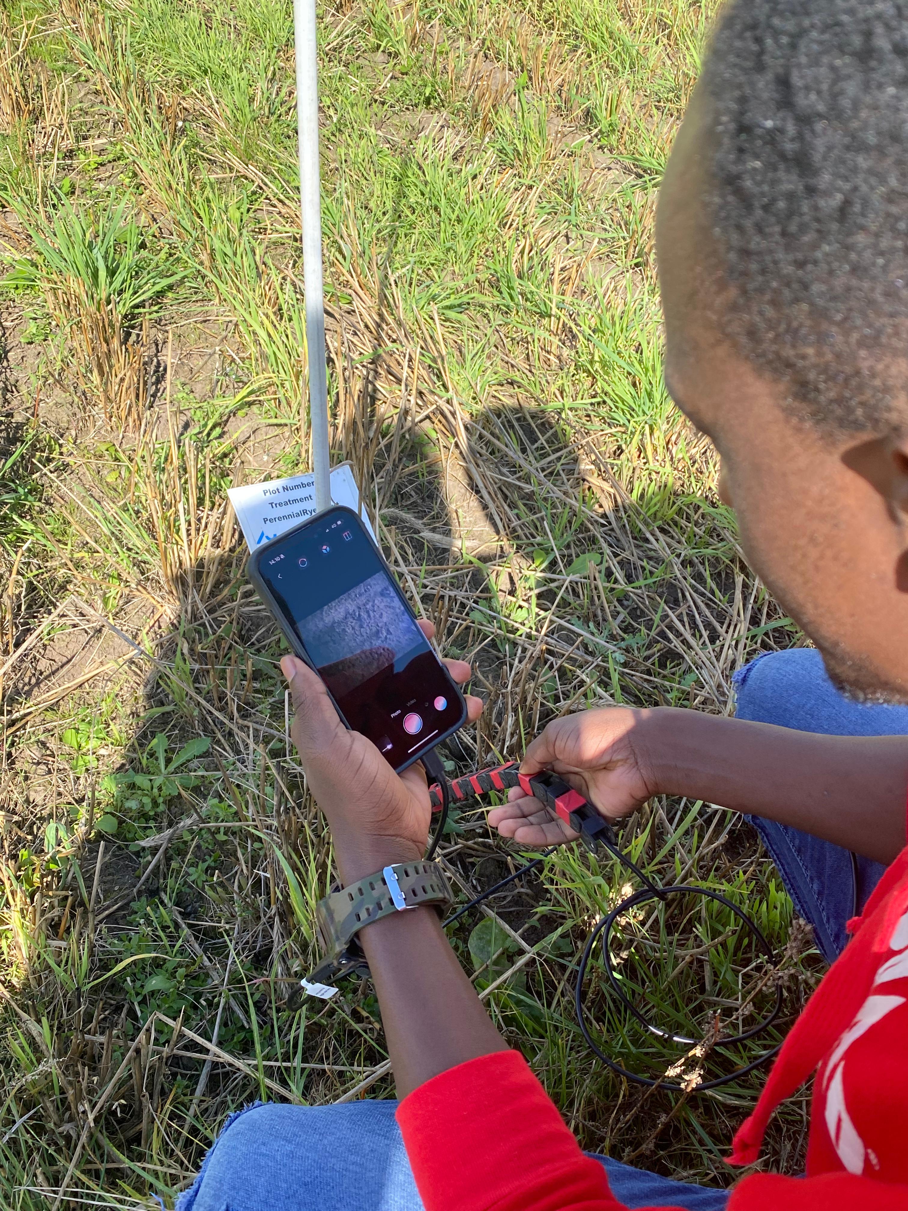
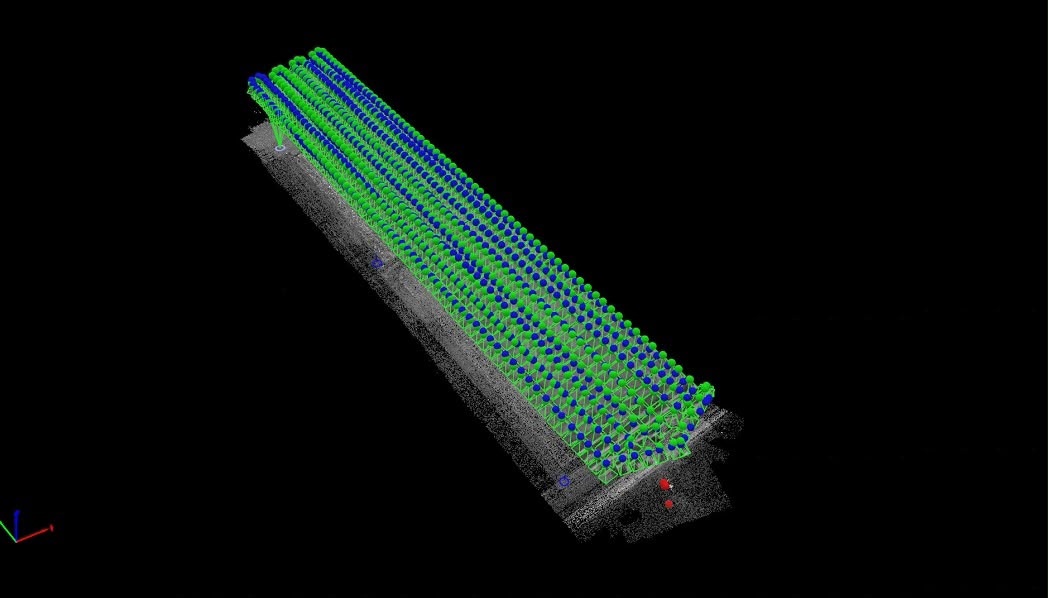
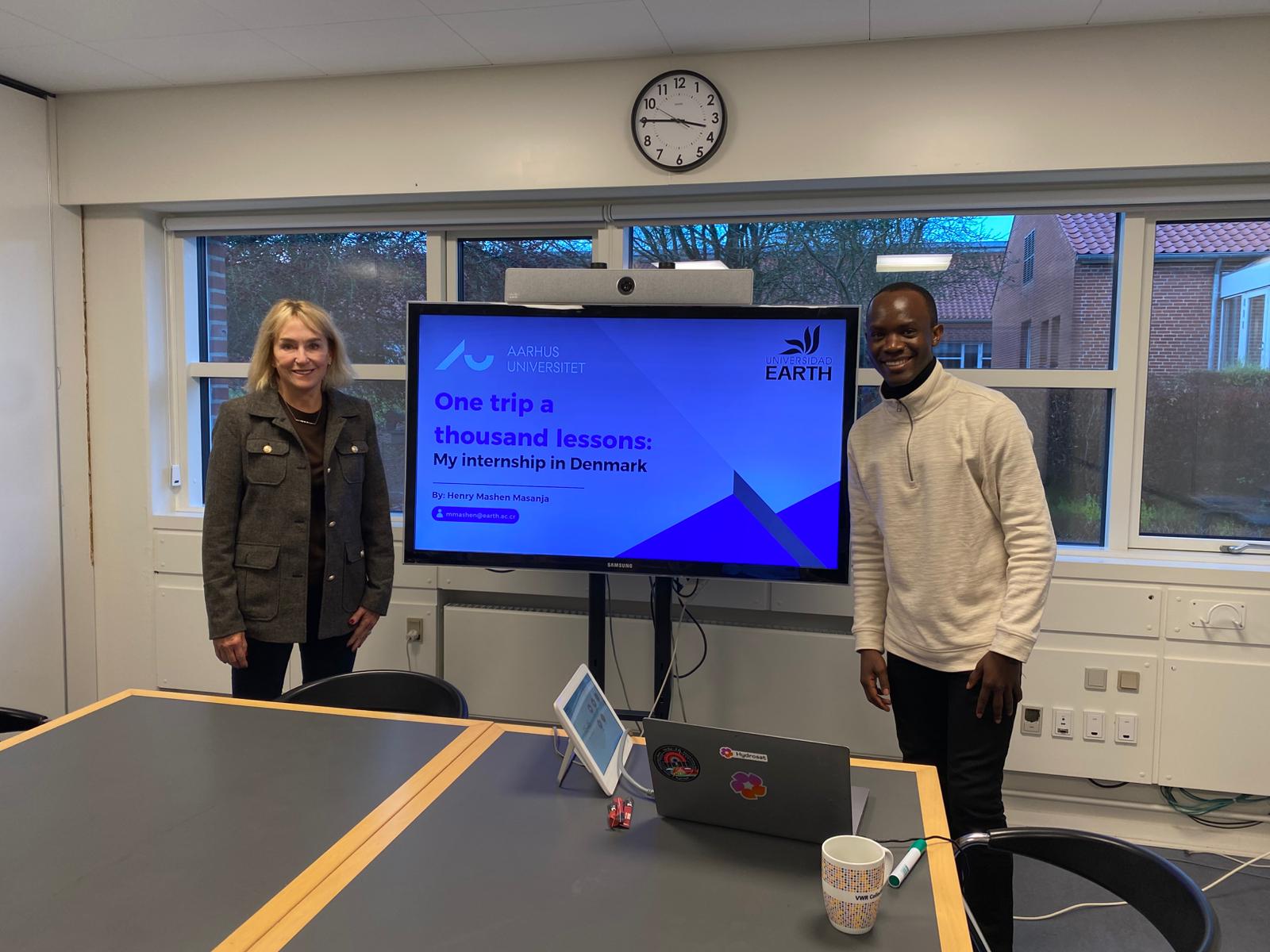
My technical foundation is directly suited to this work. My thesis developed Python-based machine learning models — random forest, support vector machines, and gradient boosting — to quantify how pre-harvest factors influence crop traits, building proficiency in statistical analysis, model development, and data interpretation. During my 2025 research internship at Aarhus University under Dr. Eusun Han, I gained hands-on experience building data pipelines, processing complex multidimensional datasets, validating model predictions, and communicating technical findings across disciplines. My BSc in Agricultural Sciences and Engineering grounds this with domain knowledge of crop physiology, growth dynamics, and how preharvest conditions shape final product quality.
My long-term goal is to contribute to global food security and nutrition through digital innovation and data-driven decision-making in food systems. I envision working at the intersection of research, industry, and policy — translating scientific findings into practical tools that farmers, processors, and consumers can use to optimize quality, reduce waste, and improve nutritional outcomes.
I approach research with a strong work ethic, intellectual curiosity, and a commitment to rigor. My thesis demonstrated my ability to manage complex, multidisciplinary projects and communicate findings effectively, while my international experience at Aarhus University developed my capacity to collaborate in diverse research environments. I am excited to keep advancing research that improves food quality, nutrition, and sustainability.